
Place snapshot — Roma Street
Urban Index scores at Roma Street Parkland
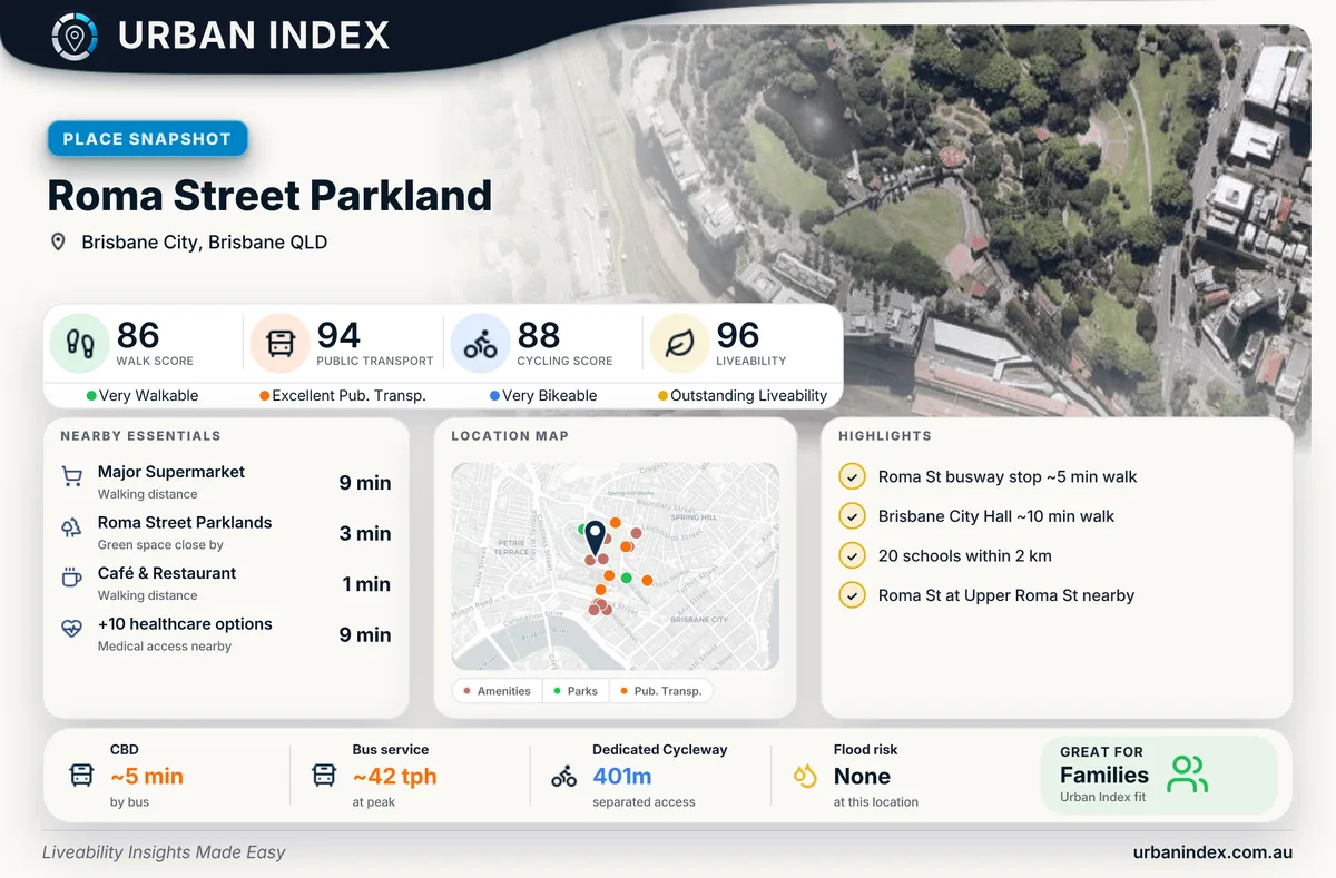
Urban Index · Place snapshot — Roma Street
Roma Street Parkland sits beside one of Brisbane’s main rail interchanges — parkland, CBD access, and strong public transport in one snapshot.
Scores at this location
| Score | Value |
|---|---|
| Walk | 86 |
| Public transport | 94 |
| Cycling | 88 |
| Liveability | 96 |
A liveability score of 96 is the headline. Public transport is exceptionally strong (frequent services and hub access), with walk and cycling also high — the kind of location where daily life can lean less on a car.
What the scores suggest here
- Walk (86) — High. Everyday errands are within reach on foot; this is not a car-dependent address for the basics.
- Public transport (94) — Very high. The rail interchange and frequent services make transit a reliable default, not a backup.
- Cycling (88) — High. Dedicated and usable bike infrastructure nearby supports getting around by bike, not just occasional paths.
- Liveability (96) — Exceptional overall. Walk, transit, and cycling all pull in the same direction at this location.